
UAS Research
Department of Remote Sensing
University of Würzburg
Our Unmanned Aerials Systems research focuses on the added value for spaceborne Earth Observation
UAS allow very detailed information with high spatial, thematic, spectral and vertical resolution. Such detailed analyses are valuable for small scale study areas to derive spatially explicit landscape information. UAS derived imagery is used to contribute to a better environmental understanding.
Examples of research areas:
- Mandatory extremely high spatial resolution imagery
- Improving space-borne satellite imagery

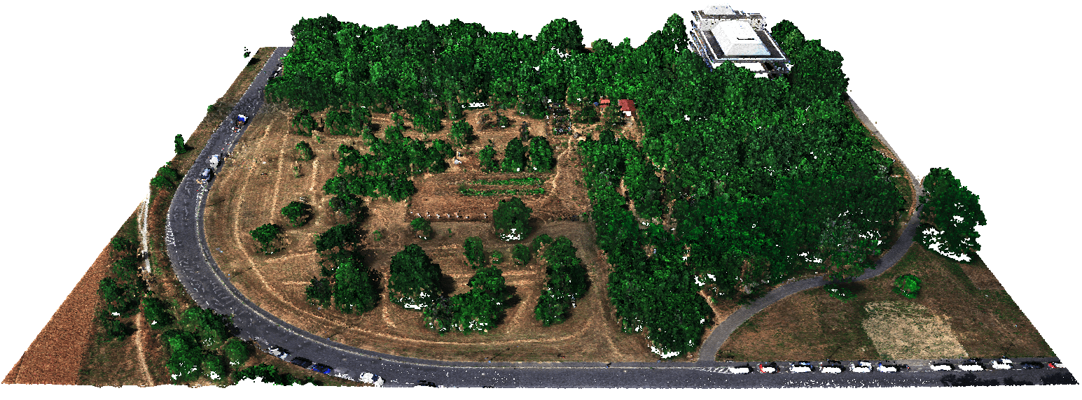
Photogrammetry
Photogrammetry is a technique for creating three-dimensional models by taking aerial images from different angles.
With our UAS we can acquire RGB images with very high spatial resolution (<1cm), from which detailed 3D measurements
are derived.
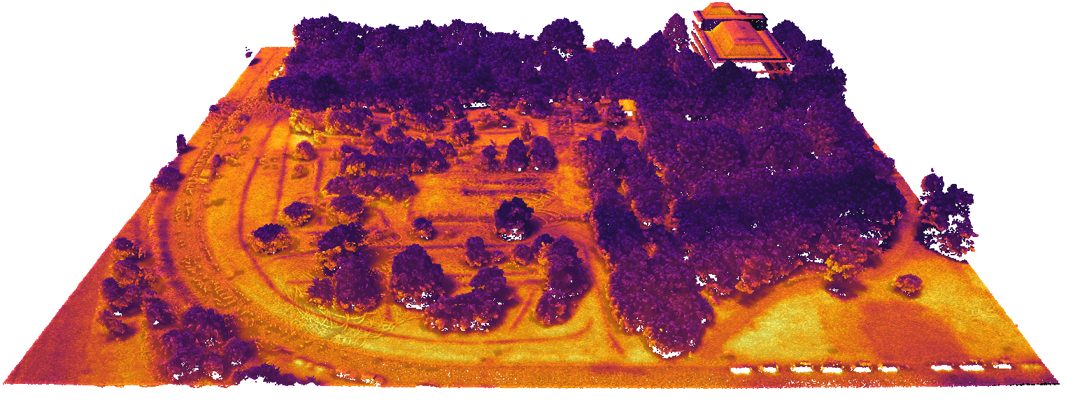
Thermal
Thermal images show the amount of (thermal) infrared energy emitted, transmitted and reflected by an object.
Therefore, thermal data provides information about the surface/objects temperature.
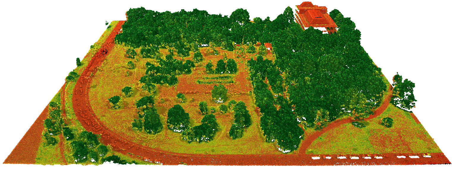
Multispectral
UAS Sensors measure the reflected, emitted, or backscattered energy of an object or area in multiple wavelength bands of the electromagnetic spectrum.
To generate multispectral images we combine information from several bands. Our sensors are similar to those employed
in the Sentinel-2 or Landsat satellite missions.
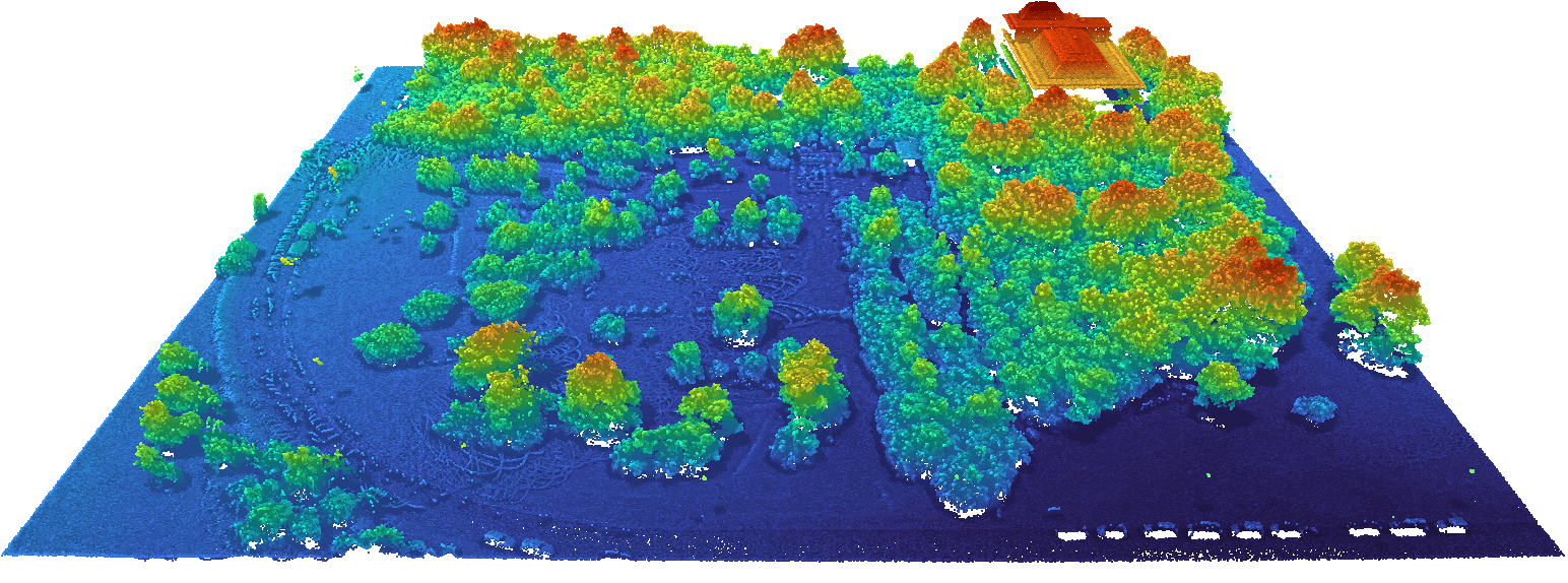
LiDAR
For lidar (Light Detection and Ranging), laser pulses are emitted onto an object or surface and the return time is measured.
Lidar data is used to derive the height of objects, vertical structures and the density of vegetation in great detail. Point
density determines spatial resolution, and lower
resolution can be used to cover larger areas.
Our Systems
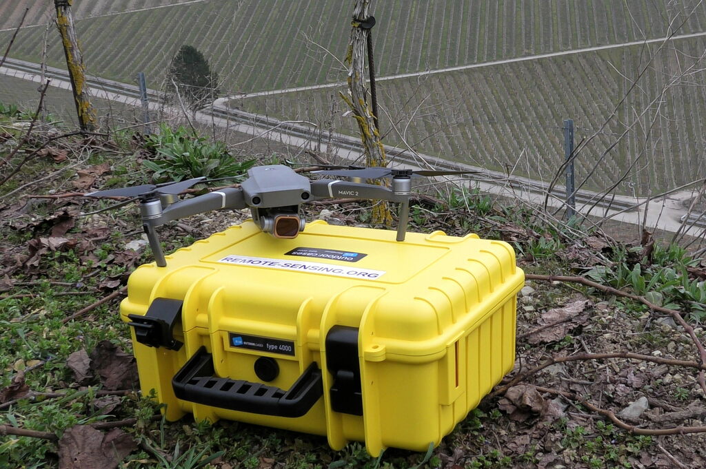
Mavic Pro/Air
Weight: Light-weight
Usage: RGB images, Digital Elevation Model
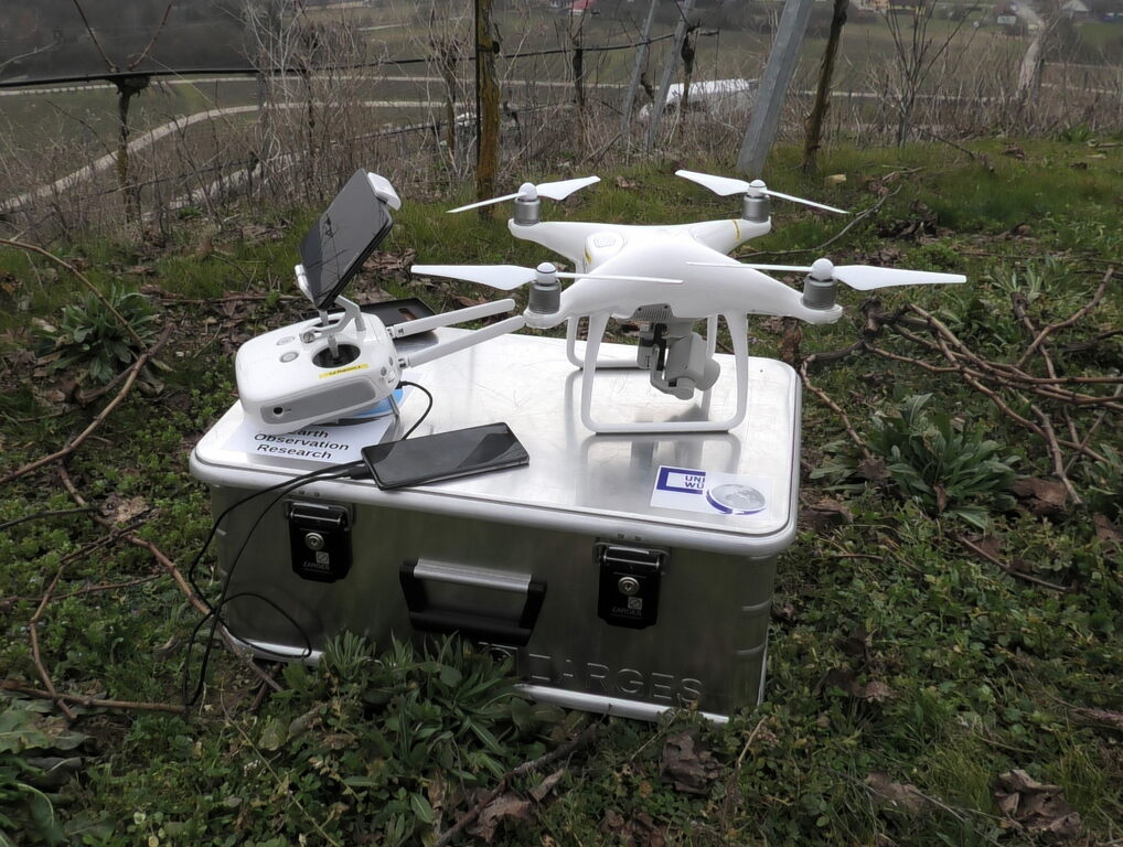
Phantom
Weight: Mid range
Usage: RGB images, Ortophotos
X8
Weight: Heavy-weight
Usage: Multispectral, red edge, thermal
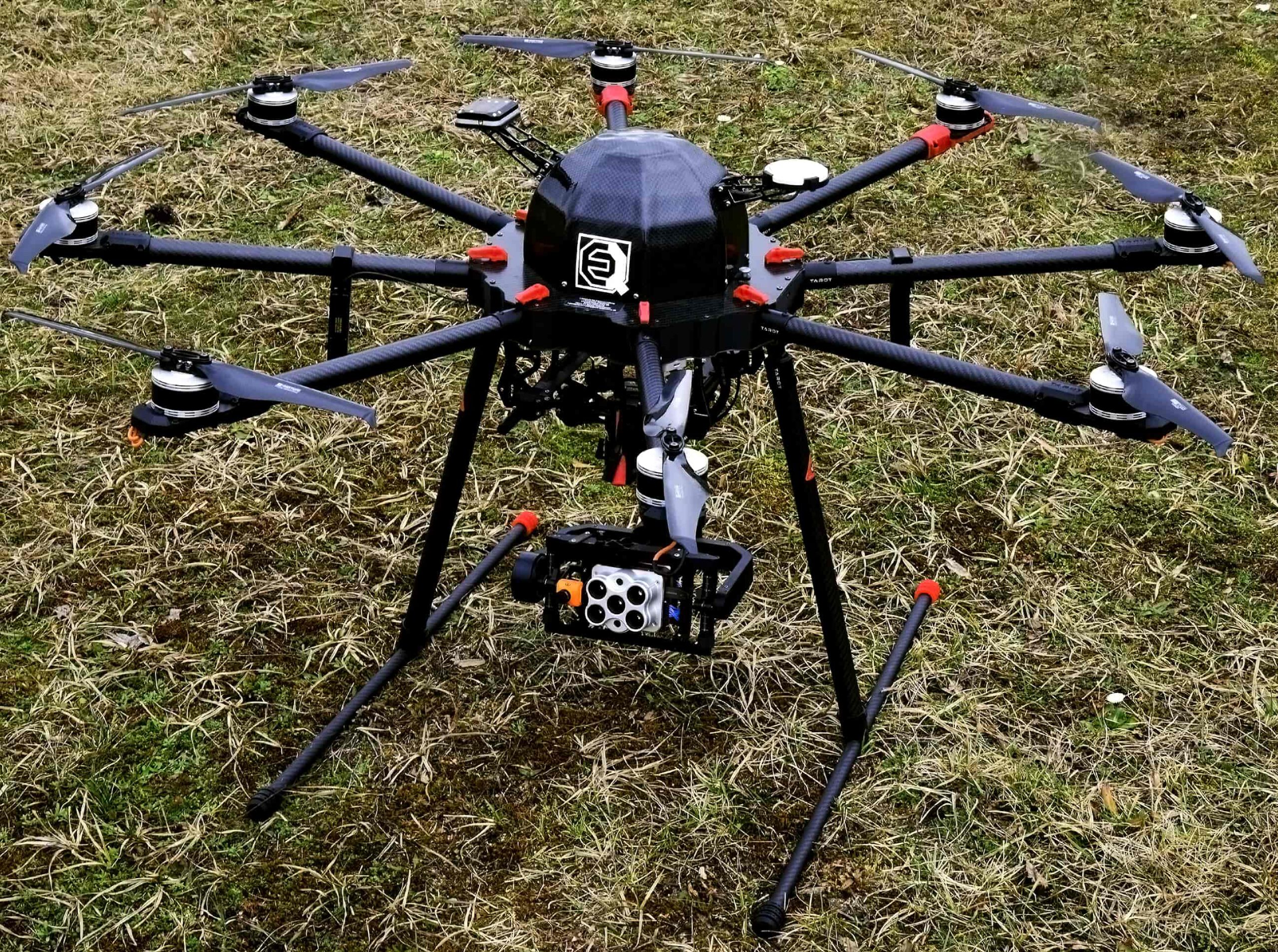
M600
Weight: Heavy-weight
Usage: 10-band multispectral, Lidar
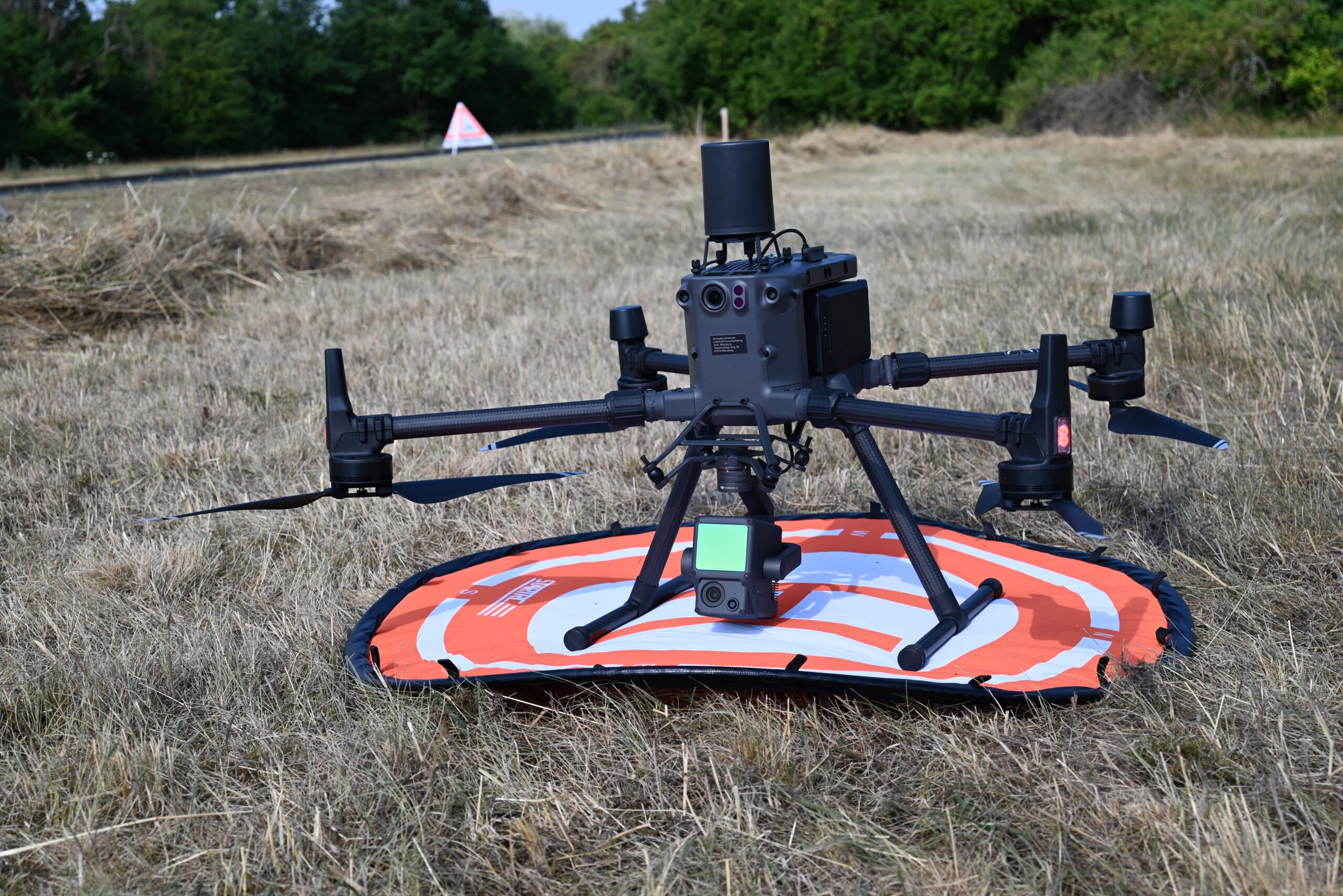
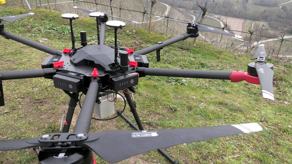
M300
Weight: Heavy-weight
Usage: 5-band multispectral,
thermal, Lidar
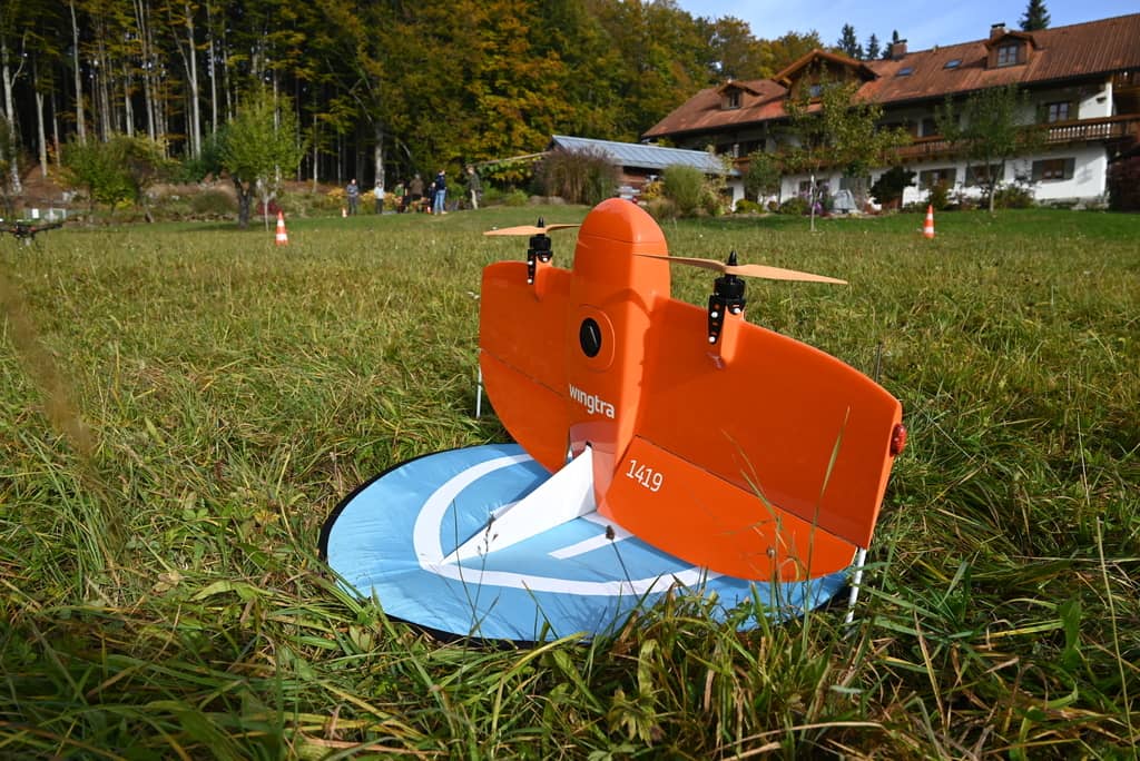
VTOL WingtrA
Weight:
Usage: 5-band multispectral,
thermal, high res. RGB
Earth Observation
Department of Remote SensingUniversity of Würzburg
Contact us
Approach us concerning collaboration for UAV based remote sensing research