
Systems
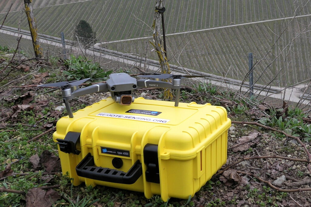
Mavic Pro/Air
Weight: Light-weight
Usage: RGB images, Digital Elevation Model
Download Example Data
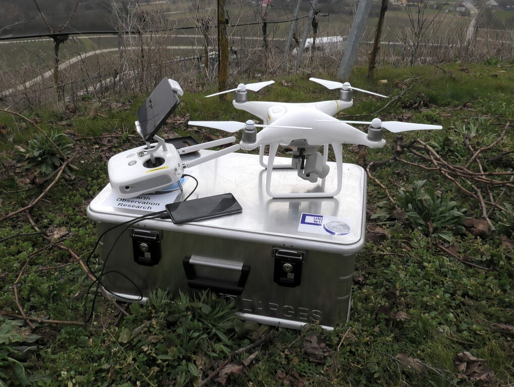
Phantom
Weight: Mid range
Usage: RGB images, Ortophotos
Download Example Data
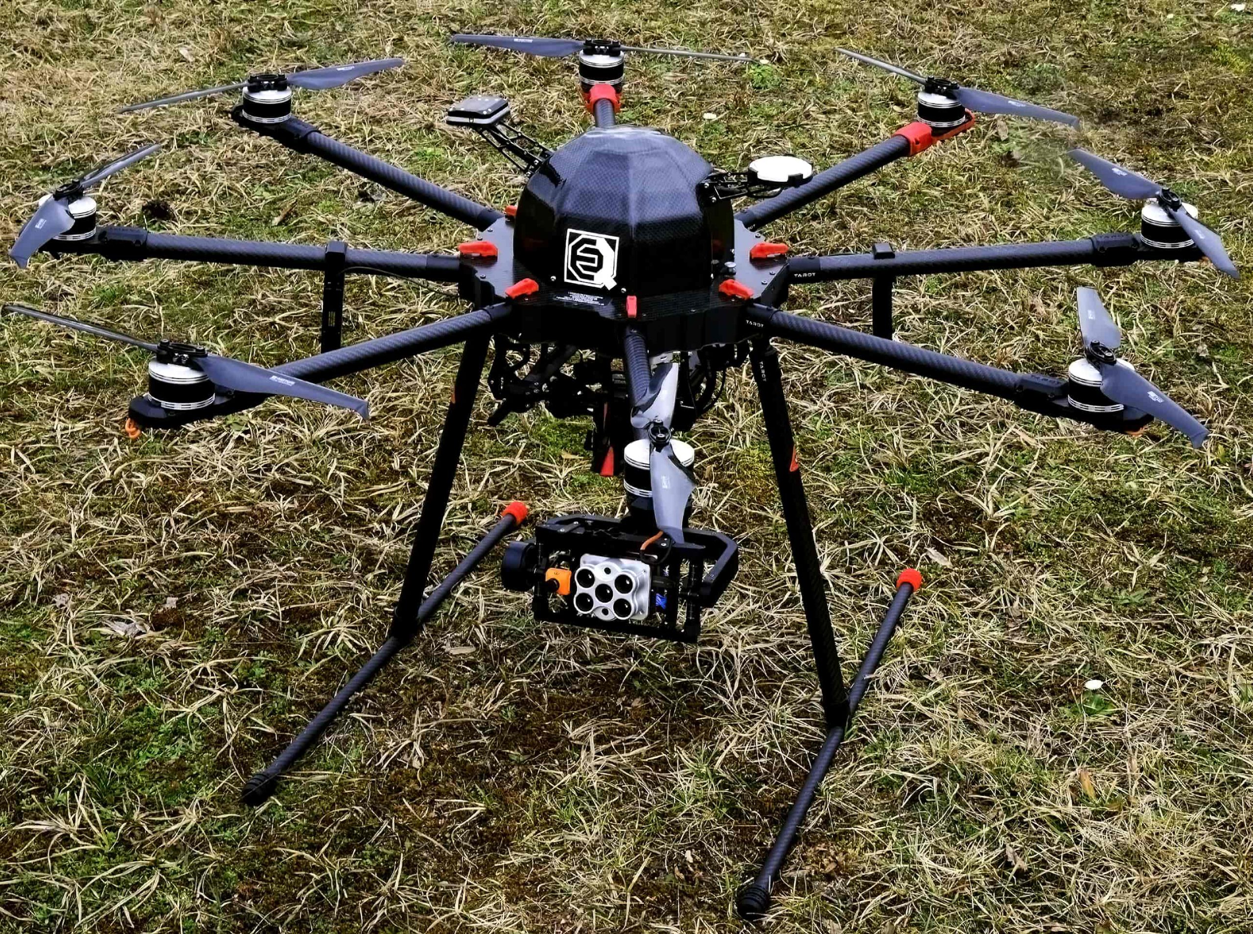
X8
Weight: Heavy-weight
Usage: Multispectral, red edge, thermal
Download Example Data
M600
Weight: Heavy-weight
Usage: 10-band multispectral, Lidar
Download Example Data
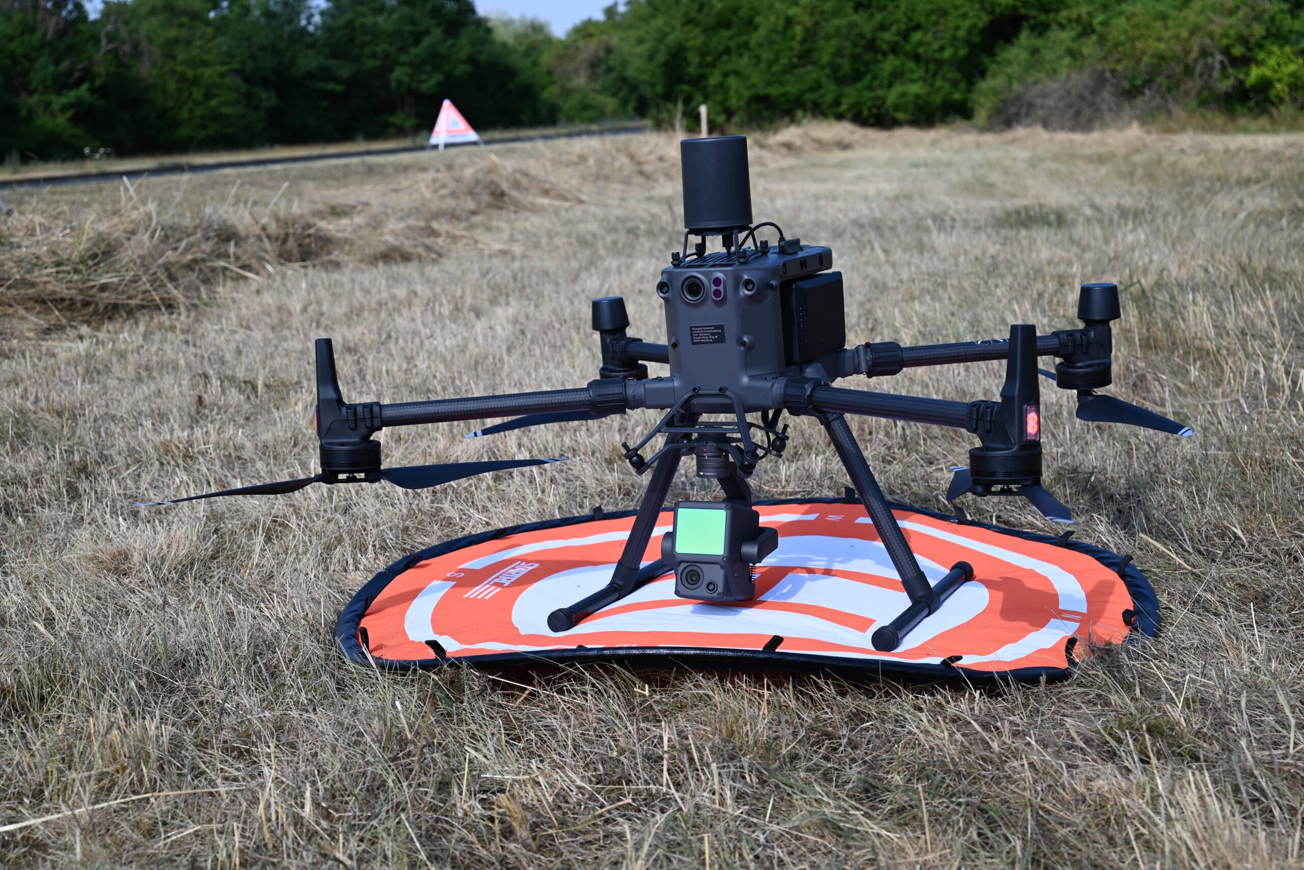
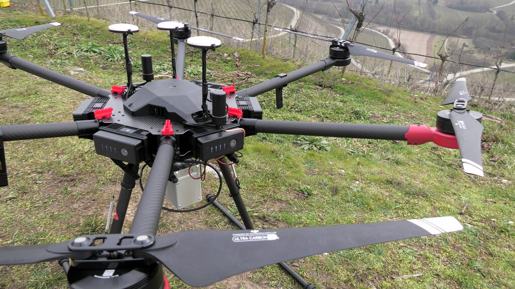
M300
Weight: Heavy-weight
Usage: 5-band multispectral,
thermal, Lidar
Download Example Data
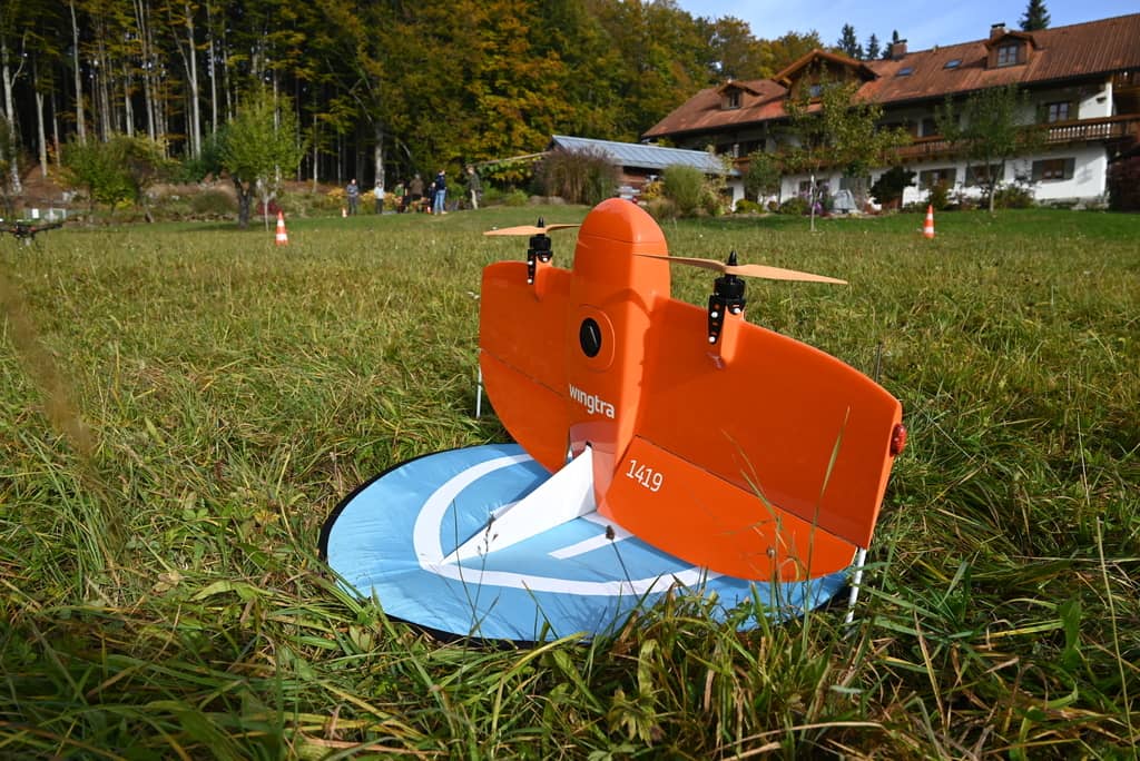
VTOL WingtrA
Weight:
Usage: 5-band multispectral,
thermal, high res. RGB
Download Example Data