Photogrammetry
Photogrammetry offers very high spatial resolution (<1cm) imagery and 3D measurements from 2D images. Hence, it can be an alternative to LiDAR.


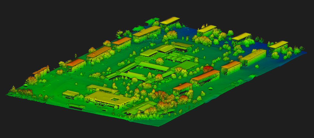
Height
The height of all objects in the area covered by the Lidar data can be derived. Based on the altitude the UAS acquired the data, the speed and the mission pattern higher or lower accuracies of the single objects and their attributes such as the height will be available.
The area shown is the University Würzburg Campus Hubland North including the Department of Remote Sensing at the Institute of Geography.
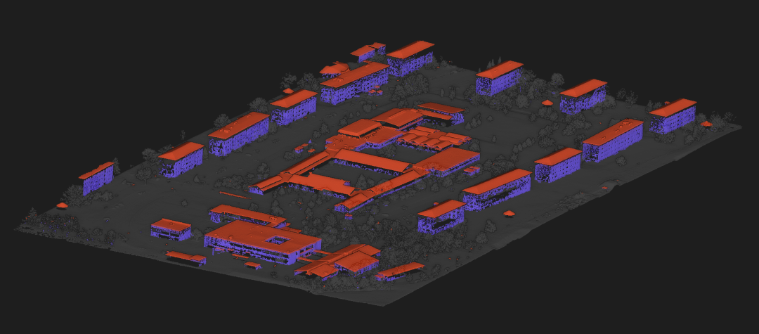
Buildings
Based on the original Lidar data single objects such as buildings can be extracted and the relative height of each individual building can be depicted.
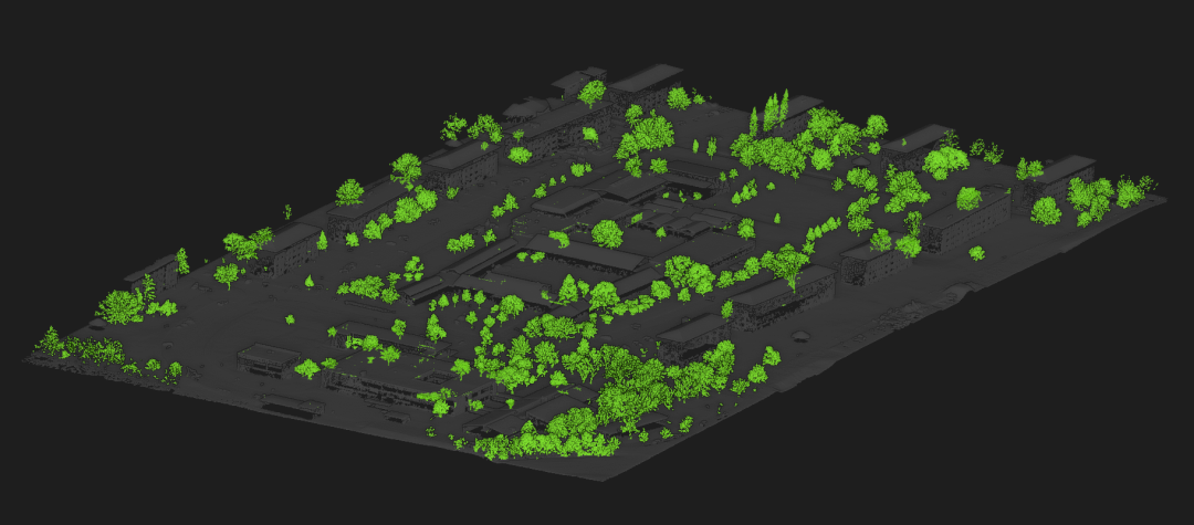
Trees
Vegetation such as trees can be extracted as well and their height as well as their vertical density can be analysed. Each tree crown can be delineated and further metrics such as DBH can be derived.Such spatial information are highly relevant for forest characterization or urban tree mapping.
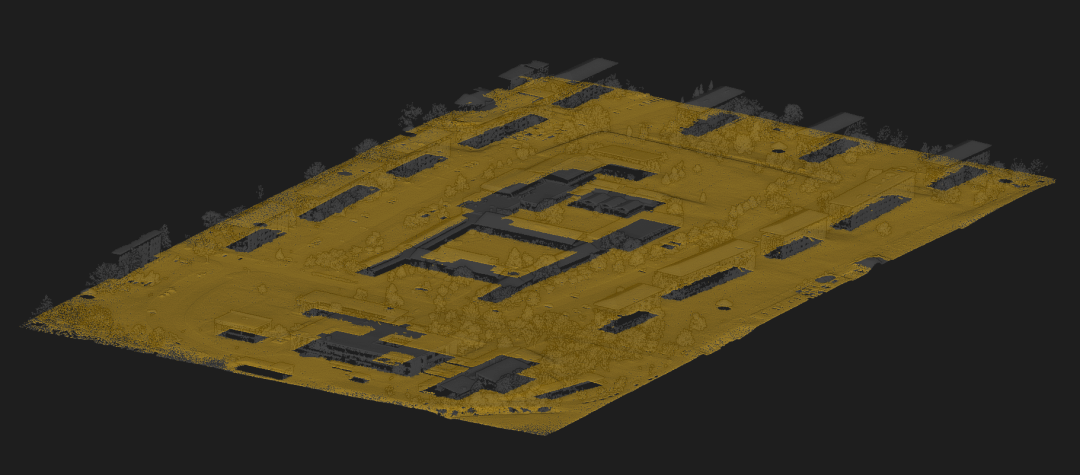
Ground
Beside the buildings or trees also the ground characteristics can be analysed and its spatial diversity or local depressions can be mapped.
